Jul
28
2009
0

Day 45 – Gothenburg, NE to Grand Island, NE – LONG DAY

113 miles in 10.16 hours – Max Speed 23mph

I got up as early as I could for not getting to bed until Midnight, and started off on what I knew would be another long day. I headed through Gothenburg and went through the town of Cozad early in the day. This is an important milestone because it is where the 100th Meridian lies, and is considered the cutoff between the east and west. It was pretty cool to see all the historic stuff around town.

100th Meridian!

100th Meridian!

I went on and stopped to have an early lunch in Lexington. It was really strange for me in Lexington and Ogallala because I have been there before, but only from the viewpoint of a highway driver, so I recognized both of the roads around the services near the highways, but you get a little more color on the town by coming from the 30 rather than I-80.

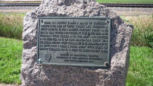
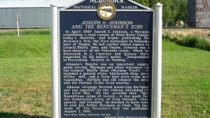
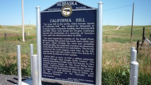
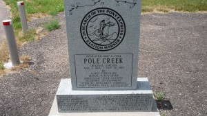
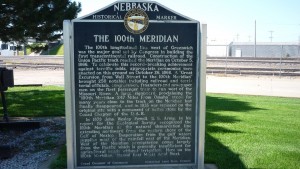
Historical Marker

Historical Marker

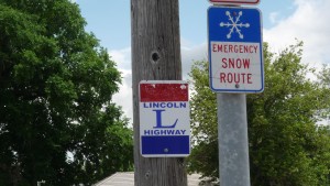
A section of the original Lincoln Highway

A section of the original Lincoln Highway

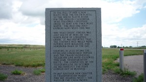
Historical Marker

Historical Marker

Once I began getting near Kearney I really did begin to feel that I was getting closer to the east, as the towns continued to get bigger. When I was like 8 miles outside of Kearney suburbs started, with neighborhoods and lots of little roads everywhere. This is something that I really haven’t seen since Salt Lake, and not for a smaller city ever on this trip. This was pretty exciting for me. I celebrated by getting ice cream at a TCBY.

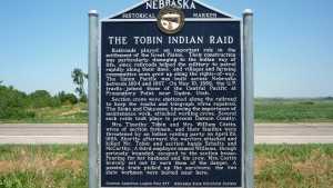
Historical Marker

Historical Marker

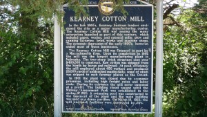
Historical Marker

Historical Marker

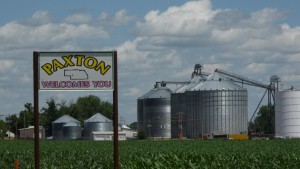
I moved on and got to the town of Grand Island at around 7:30. I grabbed a quick dinner in town and got to the campground I was going to at around 9:00, just at twilight. I got set up and was asleep long before I was the night before.


View Larger Map

Written by in: America,Everything |
Jul
27
2009
0

Day 44 – Big Springs, NE to Gothenburg, NE – Long Day

112 miles in 10.25 hours – Max Speed 26mph

Sometimes you have these thoughts that when you think back to them, you honestly have no idea what made you believe what you believed. I got up late this day, and putzed around the room for a few hours, even though I knew I had over 100 miles to bike today. But it was okay since ‘it would be easy because it was Nebraska, and hence, flat’. I don’t know how or why I thought any 100 mile day would be easy.

I eventually got going at just after 10, and went back up to route 30. That was an interesting thing about these roads. The entire town was almost always built on the 30 (Big Springs was actually an exception), but most of the services had moved down next to the highway, usually three or so miles away. It was interesting to see how the towns had evolved to the changing conditions.

Historical Marker

Historical Marker

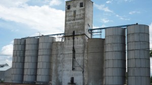
Is it sad that grain elevators really were the most exciting things I saw every day?

Is it sad that grain elevators really were the most exciting things I saw every day?

Anyway, it was more of the same, as I went through numerous small towns, and two large ones. Ogallala and North Platte were nice changes, and I ate Lunch and Dinner in them, respectively. After dinner I got back on the road, knowing that I wasn’t going to make it to the KOA by nightfall. Oh well, that is what I get for putzing around all morning.

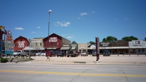
Old Town Ogallala

Old Town Ogallala

Okay, last grain elevator... I promise.

Okay, last grain elevator... I promise.

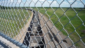
Empty train that went under me.

Empty train that went under me.

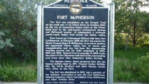
Historical Marker

Historical Marker

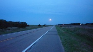
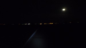
I went through a few small towns as the twilight was waning, then did the last 13 or so miles in total darkness. It was amazing. The sides of the road were just filled with lightning bugs, there was a large shoulder, and almost no traffic. The weather was beautiful, and the headwind that I had died down. Not only that, but you could see the city as just a bulb of light ahead that kept getting larger. It really was a cool ride. Once I got to the town I made it over the freeway and to the KOA, which was somehow still open at 10:45. I got a tent site and went to sleep.

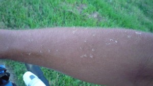
There were a lot of tiny bugs out. They went for the eyes and mouth, but as you can see some missed and only got my arm.

There were a lot of tiny bugs out. They went for the eyes and mouth, but as you can see some missed and only got my arm.

End of twilight

End of twilight

Beginning of darkness

Beginning of darkness


View Larger Map

Written by in: America,Everything |
Jul
24
2009
2

Day 43 – Oliver, NE to Big Springs, NE – Running for my Life and Failing

100 miles in 8.16 hours – Max Speed 24.5mph

Upon getting to a new state, the first thing I do is look and see where the motel 6’s are, and what their prices are. Since I was to run parallel to the 80 in Nebraska on old route 30, they were plentiful. Two were under $40, one in Big Springs, and one in Lincoln. I was around 100 miles outside of Big Springs, so I figured that that was a reasonable goal for today.

So I packed up my tent and got moving towards the first real town in Nebraska, Kimball. I went all the way through the town looking for a place to eat breakfast, and then reached the end of town having seen only a Subway. I sighed, turned around, and went to a Subway which appeared to be open back in the middle of town. It was, and I had breakfast there (aside: Subway breakfast is pretty good, I just was in the mood for pancakes).

Picture outside of Kimball

Picture outside of Kimball

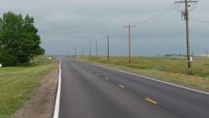
I left Subway and got back on the 30. This is a good time to talk about this stretch of route 30. If you look at it on Google Street View you will notice that there is no shoulder. This is okay though, since I literally probably saw 50 cars all day between towns. And in the towns the lanes usually widen so it is no problem.

Route 30

Route 30

I went through town after town with populations under 1000, and kept eating up miles. I had a wind from the south, and I was going ESE, so I had a very slight headwind, and it did slow me down a little.

Small town.

Small town.

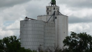
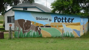
Grain Elevator in Potter

Grain Elevator in Potter

Cool picture

Cool picture

Historical Marker

Historical Marker

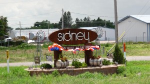
Sign for Sidney, NE

Sign for Sidney, NE

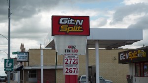
Continuing the look at local gas station chains

Continuing the look at local gas station chains

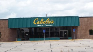
Cabela's world headquarters in Sidney, NE

Cabela's world headquarters in Sidney, NE

Still on the Lincoln Highway

Still on the Lincoln Highway

One side of a historical marker. Notice a sponsor is 'Generic Motel'.

One side of a historical marker. Notice a sponsor is 'Generic Motel'.

Historical Marker

Historical Marker

Colton NE: A hell of a lot nicer than Colton, CA

Colton NE: A hell of a lot nicer than Colton, CA

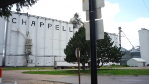
I just kept chugging and to my surprise, after the town of Chappell, it suddenly got hilly!

Chappell Grain Elevator

Chappell Grain Elevator

Not only that but at the same time rain clouds of doom formed above me. These were dark, and seemingly came out of nowhere. I thought about going back to town, but decided to soldier on because there were nasty clouds behind me for as far as I could see.

Then it started thundering and lightning like crazy around, and the rain began. It wasn’t hard, but it was annoying. It rained for about an hour, but I am happy to report I did not get struck by lightning. This lightning storm irked me though because I thought I had gotten good at spotting nasty weather coming in, but this just seemed to materialize out of nowhere. After the storms ended the sun actually came out again, much to my delight. I went through the rest of the hills and reached the turnoff for Big Springs.

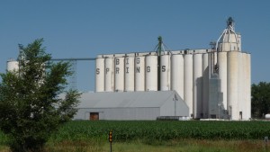
Enjoying the Grain Elevators?

Enjoying the Grain Elevators?

I rode down a big hill into the town, and then reached my Motel 6. Since it was on the interstate it had a large sign outside where it was advertising their great rates of $50 a night. ‘What the hell’ I thought, as I looked at my phone to confirm that I did infact see $40 on their website. I did, so then, standing infront of the entrance to the motel, I used my phone to book myself a room at $39.95 (or whatever). I went inside, said I had a reservation, and got the room for $10 cheaper than I would have otherwise. After that I went to a cheap buffet in the truck stop next door, ate too much, then went back to the room for the night.


View Larger Map

Written by in: America,Everything |
Jul
23
2009
0

Day 42 – Laramie, WY to Oliver, NE – Running for my Life and Making It

109 miles in 9.25 hours – Max Speed 26mph

I woke up in the middle of the night because it was FREEZING. I put on all of my layers and got back into the bag and tried to shiver myself to sleep. When I woke up the next morning it was still cold as sin out, but it was at least sunny and looked like it would be a nice day. But I knew from looking at the forecasts that this wouldn’t last.

I set out while it was sunny and after riding through the college town of Laramie (pretty cool place), I immediately hit a massive hill.
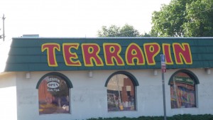
I like Laramie already.
I like Laramie already.

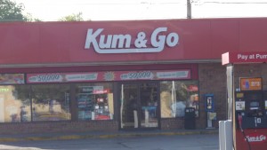
Actually a popular gas station around Wyoming. Seriously.
Actually a popular gas station around Wyoming. Seriously.

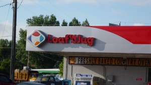
Another popular gas station/convenience store. I don't know why, but I really like this name (unlike the Kum and Go, which just made me uncomfortable).

Another popular gas station/convenience store. I don't know why, but I really like this name (unlike the Kum and Go, which just made me uncomfortable).

I knew this was coming, it was the final pass out of the Rockies. I climbed and climbed, and then, suddenly, hit the top. I decided to do another little climb into the rest stop at the top of the pass to take some pictures. It was still freezing out while I was up there. And the bugs were horrendous.
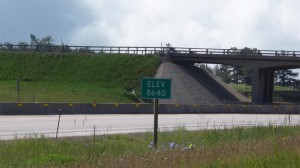
Woo Hoo!
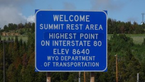
Woo Hoo!

A better sign at the top in the rest area.
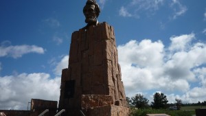
A better sign at the top in the rest area.

'Did you say Abe Lincoln?' 'No! I said Hey Blinkin!'
'Did you say Abe Lincoln?' 'No! I said Hey Blinkin!'

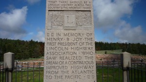
The Lincoln Highway seems to be a recurring theme for me. And don't think I am even close to done with it either.
The Lincoln Highway seems to be a recurring theme for me. And don't think I am even close to done with it either.

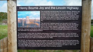
Information on the Lincoln Highway.

Information on the Lincoln Highway.

I talked to a few more people up there, including a nice guy from the Quad Cities for a while (Illinois side). While talking to many of these people, I get the ‘I wish I had done that when I was your age’ or ‘I wish I could do something like that’ a lot. Here’s the thing: I didn’t train for this, it doesn’t require a ton of money, equipment, or anything else. You just have to want to go do it. I am a firm believer that when people say they really want to do something like this, they are lying, or else they would. I understand that some people have these annoying things like ‘family’ and ‘jobs’, but really you can still do a long weekend ride if you want. I mean, you don’t have to do the two month long 4200 mile adventure like I am, you can take small pieces at a time.

Anyway, I got going and had the worst decent into Cheyenne of my life. The pass was at 8600 feet, and Cheyenne was at 6000 feet. Sounds like it should be easy right? Well when I got there it literally didn’t feel like I descended a foot because of the number of rolling hills and a headwind that started on the pass.
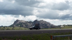
Clouds, Mountain, Car
Clouds, Mountain, Car

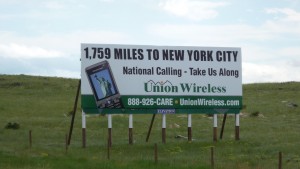
I guess that means I am getting closer.
I guess that means I am getting closer.

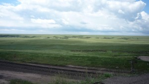
Eastern Wyoming

Eastern Wyoming

I rode through Cheyenne, which was a cool town also, and stopped for lunch. While I was there I talked to some kids (probably like 14 years old) who wanted to know if I lost a bet and that is why I was riding. Haha. I told them I had not, but they still couldn’t figure out why someone would ride their bike when there were cars and planes and stuff.

I got back out onto the highway and rode for another few miles before some threatening clouds rolled in, so I stopped at a truckstop to wait them out. Truckstops are another great thing about riding on the interstate. They are generally every 50 miles or so, have some decent food (high in calories anyway), clean bathrooms, and a general store. Once there was a break in the clouds I got back on the bike and started hauling.

I got to the small town of Pine Bluffs, and once I got there, was shocked to see that there was a restaurant open (it was about 6pm on the 4th of July).
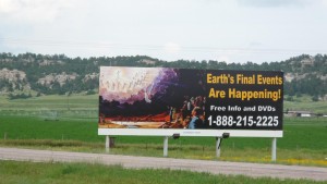
Saw this beauty just outside of Pine Bluffs. I have no comment.

Saw this beauty just outside of Pine Bluffs. I have no comment.

I ate there, gratefully, and then set off again towards Kimball, where I knew there was an RV Park. I crossed the border into Nebraska, and as soon as I did the sky opened up.
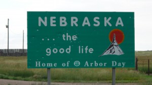
I just love how it isn't possible to put a sign on a back road in the west without it being shot to pieces by people with shotguns.

I just love how it isn't possible to put a sign on a back road in the west without it being shot to pieces by people with shotguns.

I looked above me, saw that I was right on the border of the rain clouds, and booked it.

I got out of the rain and felt better, and since the wind was from the East, and I was going East, I assumed the clouds would wander off. Instead they kept on following me at a slow and leisurely pace, like the killer in a horror movie. I cursed the physics of rainclouds for making no sense, and picked up the pace again to try to gain some distance. Around 12 miles into Nebraska I saw a state campgrounds on my left. I checked it out, saw it was $7, so I got a spot. I got the tent all set up and unpacked before the rain came again. I got to watch some fireworks that people had brought to the campground, and then climbed into the tent to sleep as the rain returned.


View Larger Map
Written by in: America,Everything |
Jul
22
2009
0

Day 41 – Rawlings, WY to Laramie, WY – Sun! Too much sun?!

102 miles in 7.83 hours – Max Speed 35mph

When I woke up the next morning, I heard the sound of rain on my tent. I sighed and tried to go back to sleep. I didn’t have any luck, but as I was laying there the rain slowed down to a drizzle. I figured that that was a good as it was going to get, so I got up and got packed. By the time I was done it had stopped raining, but I knew it was supposed to start again later in the Afternoon, so I got moving quickly.

The day involved a 100 mile ride over some mountains into Laramie, but there was the option of taking old route 30, adding around 10-15 miles on, but taking most of the mountains out of the ride. I set off not knowing which I would decide to take.

It was a pretty easy ride to where the 30 broke off from the 80, so I arrived pretty quickly. After a brief thought, I figured that with rain coming I would stick to the interstate, so I hopped back on the bike and got going. There was also a sign at this intersection saying ‘No Services 75 Miles’. Oh well, that’s fine, I have plenty of food and water.

I reached the first big hill (you can always tell where the hills are because they add a third truck lane to the interstate there) and just pounded up it in my middle ring. Not good for my knees I know, but it was much faster than spinning up it in the granny.

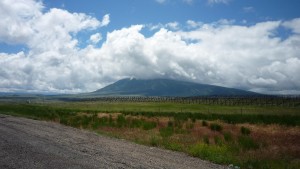
That mountain probably saved my butt. See how the clouds have to  go through it. I think it was breaking up a lot of the rain clouds as they drifted by, and they had to rain quite a bit to get high enough to get over it.

That mountain probably saved my butt. See how the clouds have to go through it. I think it was breaking up a lot of the rain clouds as they drifted by, and they had to rain quite a bit to get high enough to get over it.

I went over a few more hills and then at the top of the biggest hill on the first range (there were two today) I stopped at a rest area. Stopping at a rest area on interstates is always fun because lots of people usually come up and talk to you, and today was no exception. Someone gave me a bunch of granola bars (not really necessary, but thanks!) and I talked to a few others while I ate a ‘lunch’ up there.

The only problem with interstate riding is that people always walk up to you and open with the line ‘I saw you on the road’. I mean, people will do that on regular roads too, but not nearly as often. And I never was smart enough to have a clever or witty retort to that line that wasn’t a little rude, so I would just stand there awkwardly and end up saying something like ‘yup’.

Anyway, I got going in a hurry because I saw some mean looking clouds creeping in, and sure enough, around 5 miles after my rest area, it began to rain on me. I sighed, put on my rain clothes, and got back on the bike. Then, 5 minutes after that, it stopped raining on me. I didn’t trust the weather though, so I left my rain clothes on for as long as I could without dieing of heat stroke. Eventually I had to take them off, but the rain continued to stay away.

As I got over the second range and drifted down into Laramie the sun actually came out for an extended period. I got into town, stopped at a KOA, did some laundry, showered, ate, and did a little work on the computer. Because I had pushed it as hard as I could, it was only 3:00 or so when I got there despite the distance and the hills.

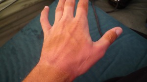
I realized that I only took one picture that day, so I took another and made a video apologizing to everyone. The other thing you can notice in the video is how extremely badly I got burned that day. It wasn’t super sunny, but I think when you spend all day over 8000 feet the thin air makes you much more susceptible to burns.

Haha. Because my gloves were soaked and gross from the night before I rode without today. You can see the tan dots on my hand where the sun shines through the holes of my old gloves, and the horrible sunburn over the rest of my hand. That hurt for a while.

Haha. Because my gloves were soaked and gross from the night before I rode without today. You can see the tan dots on my hand where the sun shines through the holes of my old gloves, and the horrible sunburn over the rest of my hand. That hurt for a while.

As you can see my hands really got it also. I winced for the next week every time I had to get something out of my pockets. After I washed up and brushed the teeth that night I saw a tremendous lightning storm, so took a quick video of that. I don’t think all the flashes really showed up in the camera, but it looks fairly cool none the less.

With all that taken care of, I got into the tent and went to sleep.


View Larger Map

Written by in: America,Everything |
Jul
21
2009
1

Day 40 – Rock Springs, WY to Rawlins, WY – Rain

119 miles in 10.33 hours – Max Speed 26mph

I woke up early the next day and walked over to the diner attached to the holiday inn for some very mediocre breakfast. The nice thing about the Holiday Inn was that they gave everyone an USA Today (pronounced ooo-sa… the today is silent) which I could read while waiting for my food. It beat reading it on my cell phone, which is what I usually did to stay in touch with the world.

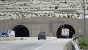
I headed out and got immediately back onto the 80. This was a horrible mistake, as there was a tunnel of despair just a couple miles down the road that I believe I could have avoided. There was no shoulder through this tunnel… and it was pretty long… and the interstate has a lot of traffic on it. And the scariest part about tunnels is always the sound. This was the most frightening moment of the entire trip for me I believe. But I made it.

Just looking at this picture makes me shake a little.

Just looking at this picture makes me shake a little.

I can see for miles and miles and miles.

I can see for miles and miles and miles.

After that I did around 30 quick miles to Point of Rocks, a ‘town’ much like many of the ‘towns’ in Nevada. They had two buildings and a bunch of people living out of their RV’s. I sat inside for a while though and talked to the proprietors of the gas station/convenience store/post office. I headed back out onto the highway feeling refreshed and headed towards the next small town of Wamsutter.

Interesting road name... sounds like the name of some anime show or something to me.

Interesting road name... sounds like the name of some anime show or something to me.

Vowels: Only required in 49 states

Vowels: Only required in 49 states

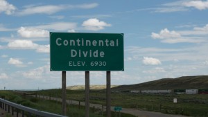
Actually, believe it or not, there were two continental divides today. There is a basin in Wyoming, so you have to go through the basin to get to the other one. I did not take a picture of it because I was trying to construct my arc to live through the floods at the time, but it said 7000 feet on the nose, you will have to take my word on it.

Actually, believe it or not, there were two continental divides today. There is a basin in Wyoming, so you have to go through the basin to get to the other one. I did not take a picture of it because I was trying to construct my arc to live through the floods at the time, but it said 7000 feet on the nose, you will have to take my word on it.

When I was about 10 miles away though, the interstate on my side became closed, thanks to some construction so it suddenly just became 2 way traffic on the other side. Worse, I was riding in a left shoulder, which is around 18 inches instead of the standard 6 foot right shoulder (I had to to stay traveling with traffic… think about it). Anyway, around 7 or 8 miles after this happened, a police pulled up, and told me to just go ride through the construction on the other side, because he didn’t want me in the small shoulder that I was in. I said alright and got to ride on my very own highway… it was sweet (aside – police in the middle of nowhere: very friendly and treat you as an equal… police in more populated areas: generally not very friendly at all and talk down to you).

My very own highway.

My very own highway.

I got to Wamsutter and pulled over to grab some food and wait for some thunderstorms to pass. I figured they would pass in 15 minutes as they had been, but I ended up waiting here for around an hour.

Eventually I ended up leaving, and as soon as I did it began to rain on me. And rain. And rain. I had around 40 miles left to Rawlins, and it rained on me for 35 of those miles. It only skipped the first two miles after I left Wamsutter and the last two miles into Rawlins. I have rain gear, and it had served me pretty well before this, but because of the length of time that it rained and the intensity, I ended up becoming absolutely drenched anyway. It was absolutely miserable riding.

I eventually pulled into town, with nothing on my mind except a hot meal and hot shower. I went to the McDonald’s and then poked around seeing if there were any inexpensive hotels. There was not… everything was exorbitantly expensive, so I went to the KOA in town, which was around a mile back on the highway. I set up there, took my shower, and went to sleep.


View Larger Map

Written by in: America,Everything |
Jul
20
2009
0

Day 39 – Fort Bridger, WY to Rock Springs, WY – Quick and Easy

69 miles in 5.16 hours – Max Speed 31mph

Good morning from Wyoming!

Good morning from Wyoming!

I got up early and headed through the small town of Lyman the next morning. However, I was almost all the way through it and had not seen any restaurants that were open yet. I was beginning to panic because I knew this was the only town until I reached Green River, right near my final destination, so I needed to eat. Luckily, there was a cafe at the far end of town that was open.

I went in, ate way too much, and then talked to the people in there for a while. One mentioned that he saw me the night before working up the ridiculous hills and he said that he considered stopping to ask if I needed a ride. I said thanks, I guess, but that I would have turned him down anyway, so no harm was done. He said the rest of the state would be more flat compared to what I went through the day before, so that made me happy.

Anyway, my plan was to go to Rock Springs and get a room in the Holiday Inn to allow me to get my free room that I spoke of a few days ago. It was expensive, but cheaper than any of the other possibilities. As promised the route was somewhat flatter than it had been for the last few weeks, and I had a nice tailwind which pushed me along.

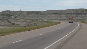
Business route 80, which I took in the morning, was really busy as you can plainly see.

Business route 80, which I took in the morning, was really busy as you can plainly see.

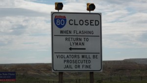
These signs are all over Wyoming... I guess they have to close the interstate quite a bit in the Winter.

These signs are all over Wyoming... I guess they have to close the interstate quite a bit in the Winter.

I did some easy highway riding and arrived at the Holiday Inn at around 2pm. Once I got into the room it poured outside, which made me happy that I managed to avoid that.

A little highway riding.

A little highway riding.

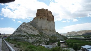
Views heading into Rock Springs. My hand makes a cameo in the upper left. That is the lazy man's way to make the intelligent auto of one's camera brighten everything up. Was that last sentence English?

Views heading into Rock Springs. My hand makes a cameo in the upper left. That is the lazy man's way to make the intelligent auto of one's camera brighten everything up. Was that last sentence English?

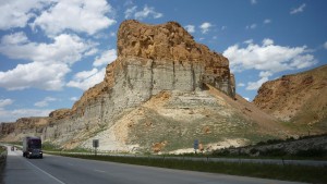
More Rock Springs

More Rock Springs

Yet more Rock Springs

Yet more Rock Springs

I showered and threw some things into the laundry, and when that I done I took a little walk over to the Wal-Mart to buy some Gatorade, toiletries, granola bars, and most importantly, a huge box of Little Debbie Oatmeal Cream Pies. Once I got back to the room I realized how preposterously large this box was so I ate three of them that night and put the rest into a bag. They were still heavy and took up a lot of space, and not only that, now my stomach hurt from eating too many oatmeal cream pies. Oh well, bike touring isn’t fun and games all the time.


View Larger Map

Written by in: America,Everything |
Jul
17
2009
1

Day 38 – Heber, UT to Fort Bridger, WY – A New State!

110 miles in 9.66 hours – Max Speed 43mph

I set out early because I knew that I had a big day in front of me if I wanted to make it to my final destination around 40 miles into Wyoming. I apparently set out too early because I realized a ways down the road that I did not fill my water bottles up – not smart. Luckily I saw a little college on the side of the road, so I rode up there, and their student union type building was unlocked so I filled up my bottles there.

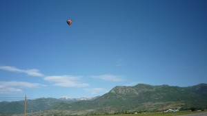
Balloon and blue sky.

Balloon and blue sky.

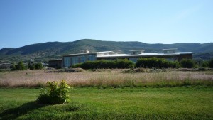
Thanks random small college!

Thanks random small college!

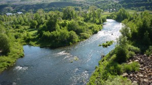
A river in Utah

A river in Utah

After taking care of that I got back on the road, which quickly became a highway – but a highway that I could be on. I still got off of it whenever there was a good frontage road, but I was happy to be back on the highway.

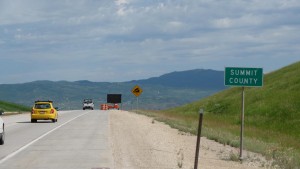
Oh yeah, there was also a big climb out of Heber, and I thought this green sign would be a sign for the summit as it had been so many times before. Well it was really at the summit, and it was a Summit, but not what I was looking for. Good timing for that county though.

Oh yeah, there was also a big climb out of Heber, and I thought this green sign would be a sign for the summit as it had been so many times before. Well it was really at the summit, and it was a Summit, but not what I was looking for. Good timing for that county though.

A frontage road I took... 'Old Route 40'. Anytime there is a route you want to follow and a road has the same name, only with the word 'old' prepended to it, that means it goes the same place but has no traffic.

A frontage road I took... 'Old Route 40'. Anytime there is a route you want to follow and a road has the same name, only with the word 'old' prepended to it, that means it goes the same place but has no traffic.

I only took this picture because I liked how one side was all green and the other was red... it is like a video game. Like going from Ashenvale to Durotar... right? Right?? You're better off if you don't know what I am talking about there.

I only took this picture because I liked how one side was all green and the other was red... it is like a video game. Like going from Ashenvale to Durotar... right? Right?? You're better off if you don't know what I am talking about there.

Waterskiing

Waterskiing

However, after a little while I hit a 30 mile stretch of construction! I was not happy about this, as they were laying down new tar, which got all over my brand new tires! It literally had to be like half a centimeter thick by the time I finally got off the forsaken stretch with new tar. Then a zillion rocks get stuck in the tar, so you are basically riding on this machine with sticky, bumpy, tires. It is not fast or smooth.

After around 30 miles it all finally fell back off, so I kept on chugging. This was a day which was surprisingly hilly. I don’t know why, but I was expecting a reasonably flat day, but I seemed to just climb and climb.

Pretty

Pretty

Grrr new tar.

Grrr new tar.

I took this picture because I thought that it looked like I was at high elevation in it. I think the picture actually did capture that, somehow. I could be wrong though.

I took this picture because I thought that it looked like I was at high elevation in it. I think the picture actually did capture that, somehow. I could be wrong though.

Kids, if I can ride my bike into the sky, you can do anything you set your minds to.

Kids, if I can ride my bike into the sky, you can do anything you set your minds to.

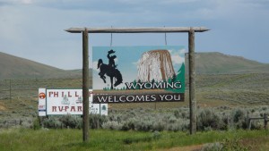
I reached Wyoming and the town of Evanston at around 3pm and stopped in for a snack and a Starbucks break. The title of this post is what it is because I have actually never been to Wyoming, so it is the only really new state for me on the trip.

Woohoo!

Woohoo!

I got back on the road at around 6 and headed towards Lyman, where there was a KOA. As I got going I noticed some nasty rain clouds rolling in, as usual. Not only that but there were these three huge ascents and decents on the way, and going up a big hill makes me nervous when the weather looks iffy. Anyway, it starting spitting and was thundering pretty bad, so I hung out under an overpass for a while. I already felt smart though about my decision to come north because this option would not be available to me on the smaller roads in Utah and Colorado.

I got going again and stopped in a truck stop for a late dinner. I ate and headed to the exit for Lyman. There was about 5 miles of the business 80 to go down to reach it, and at around mile 1 there was an RV Park in the small town of Fort Bridger. I stopped in to check the price, and it was nice and quiet and cheaper than the KOA so I stayed there instead.


View Larger Map
Written by in: America,Everything |
Jul
16
2009
2

Day 37 – Provo, UT to Heber, UT – Rest Day

37 miles in 4 hours – Max Speed 29mph

One last shot of my sweet campsite the night before.

One last shot of my sweet campsite the night before.

I get up late because I need to go to a bike shop, and I figure that they probably won’t open until 10. I still manage to not sleep long enough and get to the bike shop at 9:45 where I have to sit outside for a while. I eventually get let in, and buy two new tires, two new tubes, pay for them to install them (I don’t feel like doing it) and get new bike gloves (mine are literally shredded). I head out $120 lighter, but with a far improved bike, and improved spirits. I stop at a BK for a late breakfast and have a Whopper, the breakfast of champions. I need money, so I then head to what appears to be the only Bank of America in the state. I arrive and see it is only a BofA home loans. I talk to them and they say that BofA does not bank in Utah, but there are two ATM’s around Salt Lake. That is not helpful.

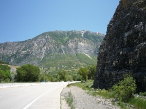
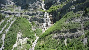
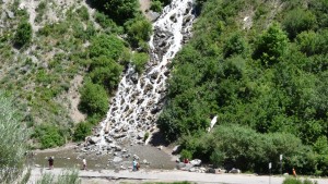
I give up and head up towards Heber City. The ride is really beautiful through a canyon, but my legs feel a little rubbery, probably because I did my first century ever the day before. I take a picture of a waterfall, look down the road where Sundance is, and ride by a nice lake.

The ride though a mountain pass

The ride though a mountain pass

A picture of the falls.

A picture of the falls.

People playing at the base of the falls.

People playing at the base of the falls.

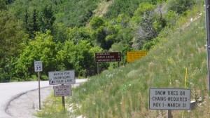
Sign for Sundance. I didn't ride up there though.

Sign for Sundance. I didn't ride up there though.

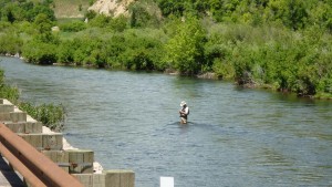
Fly fishing.

Fly fishing.

At the end of the ride though, the shoulder disappears and the traffic is very heavy. This is not optimal, but I end up making it to Heber City. I eat in the town, but it is 6pm by the time it is done. There is a campground just 15 miles up the road, but I know it is 15 miles directly up to the summit of a large hill, around a 2500 foot climb. I decide not to do it and check in at a Holiday Inn Express instead because they have a deal where if you stay for two nights before July 4th, you can get a third night after July 4th free.

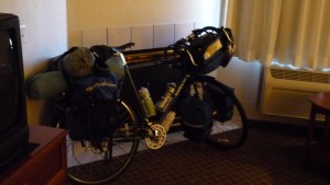
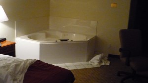
My room was ridiculous – it had a hot tub in the main room and also a fire place.

The bike always hogs the fire.

The bike always hogs the fire.

And for a Holiday Inn Express it was fairly inexpensive. I had some major decisions to make as it looked like it was supposed to rain for a week straight in the Rockies, which is where I was supposed to be. I decided to go North into Wyoming instead, and take I-80 all the way across the state.

With the heavy lifting out of the way I spent the rest of the night watching TV from my hot tub. The life of a tourer is tough sometimes.

The hot tub I sat in for a while.

The hot tub I sat in for a while.


View Larger Map
Written by in: America,Everything |
Jul
15
2009
0

Day 36 – Delta, UT to Provo, UT – Sunday in Utah

104 miles – 10.25 hours – Max Speed 34.5mph

I set out northbound on the 6 after breakfast. I went through a little town after just 10 miles, and then there was nothing for the next 40 miles. I knew there was food in the town of Eureka (Utah version) though at mile 50 so I was not worried.

However, shortly after Llewellyn I suffered a flat, the first that I had since probably California. I fix it, and head on.

Not really in the desert anymore.

Not really in the desert anymore.

On the way I notice a ton of these little cricket things that jump everywhere when you get near them. There are literally millions of them hopping around, and millions more crushed on the road. I took a video, but I don’t know if it does it justice.

I stop at a rest area at around mile 40 of the day and eat some food. On the way out right after I get back on the road I hear something tear, and then a loud POP. I look back, and there is a hole in my sidewall of my tire and my tube has blown out. This is bad. I take my spare tire, which has almost no tread left, and put it on and fill it up. It has to last me to at least Provo. This really annoys me because the tire that blew out was the one that I just had bought in San Francisco.

I got there, and both restaurants in town were closed because it was Sunday. Apparently it is a really bad plan to assume anything is going to be open on a Sunday in Utah. I later learned pretty much the entire state shuts down. For probably the first time since the first day, and all the technical issues I had then, I began having doubts about my ability to do the trip. I have no idea why, probably just because of the tire and me being starving and everything else. I eventually get over it, but I don’t think anyone can have only good days touring. This was a bad one.

I go through a few more decent sized towns, and still, there was nothing open.

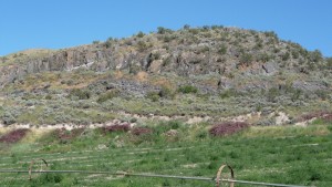
At least the state is really pretty.

At least the state is really pretty.

Definitely out of the desert

Definitely out of the desert

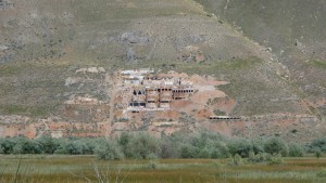
I guess someone carved a little town or something into the mountainside.

I guess someone carved a little town or something into the mountainside.

I think I liked all the colors.

I think I liked all the colors.

Finally, there is a single restaurant open in the town of Santaquin that I stop at at around 6pm for ‘lunch’. I look on my phone and see there is a Starbucks in the next town of Payson. I get there, and see that it is shut down as well, but because it is closing, not because of Sunday.

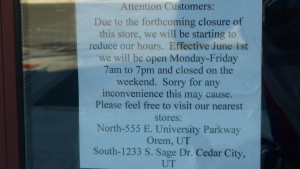
D'oh

D'oh

I buy some stuff in Walmart and wonder what to do next. I figured that because I saw some construction sites on the way into town it would be easy to find some on the way out, so I continue heading north.

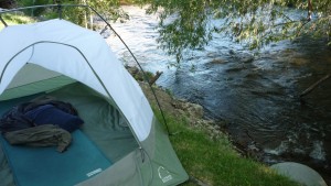
I don’t really see much, so I keep going and keep going, and soon enough it is dark and I am in the town of Provo, home of BYU. I have to say, for being a mormon school, and it being Sunday night, there were a lot of drunk people around, which was amusing. Anyway, I made it to a KOA, got a sweet spot right next to a river, and showered and went to bed.

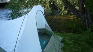
My money campspot.

My money campspot.


View Larger Map
Written by in: America,Everything |

Powered by WordPress. Theme: Based on Aeros by TheBuckmaker. All content Copyright 2009 Kyle Askine